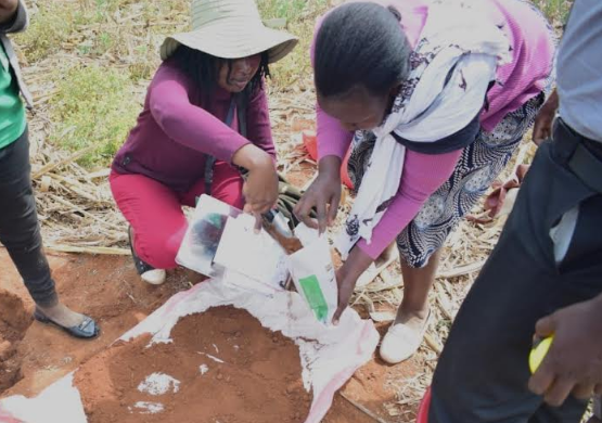
The Kenya Agricultural and Livestock Research Organisation, KALRO, has embarked on a national digital soil mapping programme to determine the soil fertility in the country.
According to an environment and resource management officer at KALRO, Ms.
Agnes Yobterik, the National digital soil mapping programme will be carried out in 45 counties apart from the urban counties of Nairobi and Mombasa.
The initiative, she said, was aimed at developing a soil information system, adding that they would be undertaking soil fertility analysis to determine soil status from 77,969 points targeted for sampling across the country.
