Kenya is in the process of revamping its surveying, mapping and land management systems to support the country's development agenda.
One of the strategies to achieve this goal is the development of a modern geodetic reference system and nationwide large-scale mapping framework.
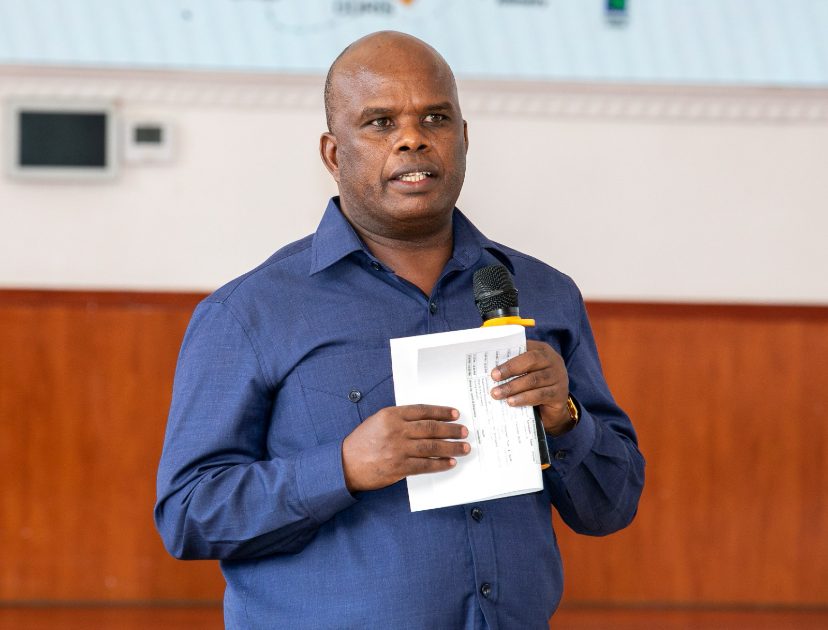
This initiative will directly contribute to national development by enabling better planning and management of infrastructure, affordable housing, and land resources. On Thursday, the third Kenya Geodetic Reference System (KGRS) Strategy Development Workshop was held at the Kenya School of Monetary Studies, bringing together key stakeholders under the leadership of the State Department for Lands and Physical Planning, with support from the World Bank and technical expertise from Frontier Consultants Limited.
Speaking at the opening ceremony, Director of Surveys Mr.
